- Written by Trương Chi Quang
- Category: Introduction
- Hits: 6565
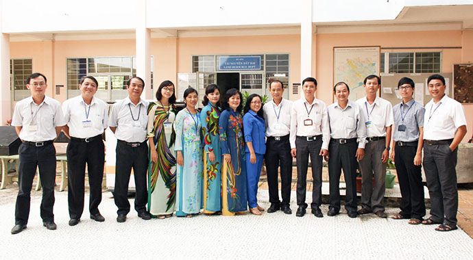
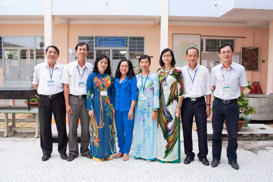
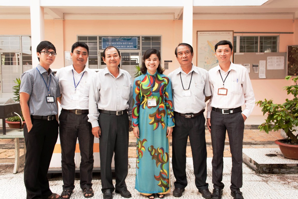
Department of Soil Science and Land Management, College of Agriculture and Applied Biology was the precursor of Land Resources Department, established in 1976. Department of Land Resources (DLR) was founded in 2008 by splitting the former department and merged to the College of Environment and Natural Resources. The faculty staffs have high education qualities, practical experiences and professional knowledge. DLR focuses on teaching, training, conducting scientific research and transferring technology to advance socio-economic development of the Mekong Delta region.

DLR focuses on teaching, training, conducting scientific research and transferring technology to advance socio-economic development of the Mekong Delta region. Currently, DLR has 18 staff members, two fields of study and two laboratories:
1. Land Evaluation, Land Use Planning and Real Estate field of study include two associate professors, one PhD, three MSc, and one PhD candidate.
2. Simulation and Forecast, Assessment and Management of Land Resources field of study include one professor, two associate professor, three PhD, two MSc and three PhD candidates.
3. GIS, Remote Sensing, Mapping and Surveying laboratory.


A. Teaching Program
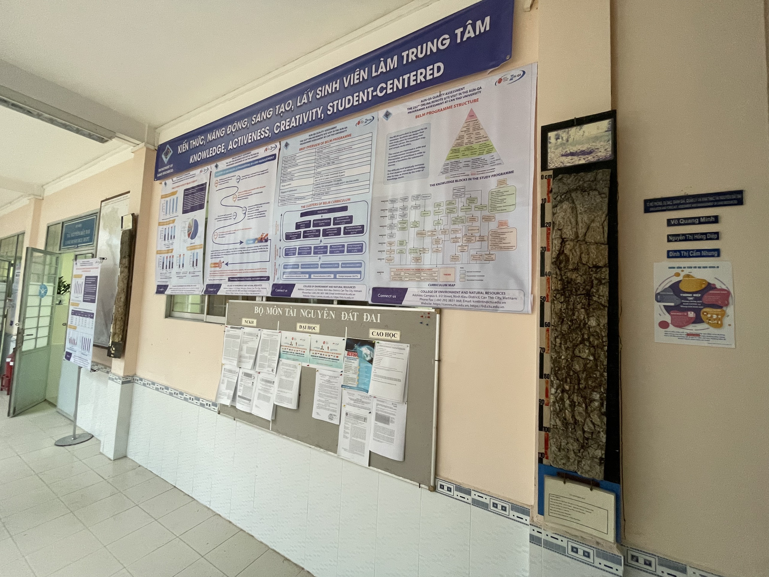
The DLR offers undergraduate and postgraduate in the field of Land Management and Bio-Forestry, and offers training programs in many specialized areas such as Land Evaluation, Land Use Planning, Urban and Rural Planning, Land Assessment and Classification, Land Statistics, Land Cadastral and Survey, Cartography, Bio-forestry Techniques, Mangrove Ecosystems, Forest Planning, and Forestry Statistics Survey to meet current and future educational needs of the residents in the Mekong Delta. Beside, faculty members are also involved in leading research in all areas of Geographic Information Technology (GIS), Image Processing Methods and Techniques, Global Positioning Systems (GPS), and Land Information System Design in the Mekong region.

B. Scientific research and transfer
The key areas of scientific research are as follow:
· Urban and Rural Development Planning, Land Use Planning and Land Evaluation;
· Land Analysis, Evaluation and Classification, and Real Estate Market;
· Soil Morphology, Micro-morphology, and Soil Fertility;
· Evaluation and Preservation of Submerged Land and Mangrove Ecosystems;
· Land Resource Exploitation, Management and Evaluation;
Applications of Information Technology, Geographic Information System, GPS, and Remote Sensing in the field of management and environmental resource assessments, cadastral, urban and rural management, land use planning, disaster management and monitoring climate changes.
C. Domestic and International Collaborations
Domestic and international collaborations are one of the strengths of the DLR. DLR has diverse cooperation with foreign universities and organisations in the world in areas of scientific research, training, and agricultural extension.
Domestic collaboration
DLR has closed collaboration with the Departments of Natural Resources and Environment, Agriculture and Rural Development, Technical Sciences, Construction and specialist offices in local provinces of the Mekong delta region.
International collaborations
DLR has long term collaboration with Wageningen University (Netherlands), Asian Institute Technology -AIT (Thailand), Centre for Remote Sensing and Image Processing, National University - CRISP (Singapore), Centre for Space and Remote Sensing Research - CSRSR (Taiwan), International Rice Research Institute-IRRI (Philippines), IRD (France).
D. Physical facilities
DLR cooperates with the Department of Soil Science, have invested modern laboratories and research equipments.
GIS, Remote Sensing, Mapping and Surveying Laboratory have all the necessary equipments such as modern computers, Global Positioning Systems, Scanners, Digitizers, Stereoscopes, A4 Printers and A0 Plotters. Specialized softwares such as MapInfo, Ilwis, Erdas, Envi, GS+, Idrisiw, Arcview, ArcGis are also available and maintain at latest versions all time.
The Land Biology, Physical and Chemical Analysis Laboratory (cooperated with Soil Science Department) are equipped with an HP Chromatography, Mass Spectrometry, HP Atomic Absorption, and Spectromatch. These equipments are used for the analysis of physical and chemical elements, soil biology, and water components to assist the evaluation of environmental and agricultural resources, and land use planning.
Contact:
Department of Land Resources
College of Environment and Natural Resources,
Can Tho University
3/2 Street, Ninh Kieu Ward, Can Tho City, Viet nam
Email: This email address is being protected from spambots. You need JavaScript enabled to view it.


